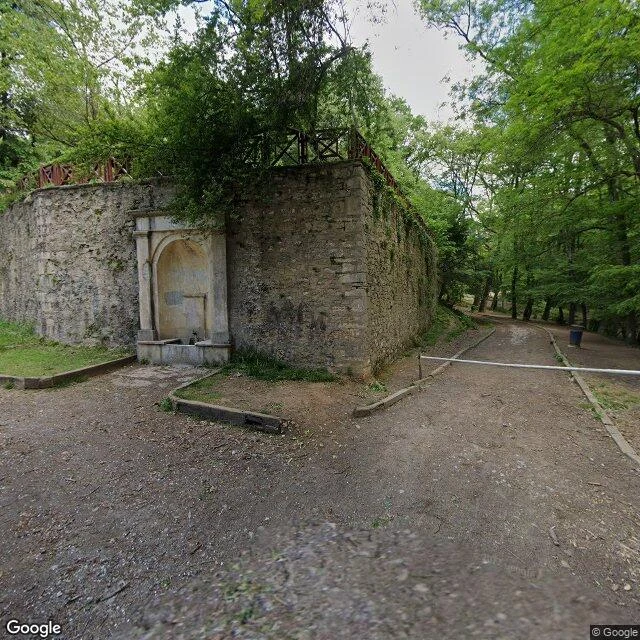
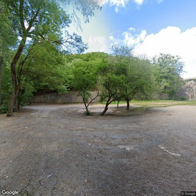
This is the shape of what you get. A real walk from my series: one street, one frame, the honest version.
Rua de D. Hugo, Porto. The lane is 325 metres, from the cathedral square down to Largo do Dr. Pedro Vitorino. Four names over its life. The one it keeps belongs to D. Hugo, French bishop of Porto from 1113 to 1136: he wrote the city's first foral in 1123, and started the wall and the cathedral. The plaque on the wall says it plainly. SEC. XII. BISPO DO PORTO.
The reason I'm writing about this lane is under it. At number 5, behind a museum door, twenty archaeological layers are stacked in a little over three metres: Iron Age hillfort, Roman Cale, Suevo-Visigothic, medieval, then the city. The longest occupation sequence dug in Porto. The dig ran 1984 to 1987. What stayed underground: a stretch of the Cerca Primitiva, the city's first wall. A plaque up the street says the wall's remains lie buried beneath today's houses. Number 5 is where part of it shows itself.
The house at 5 is Gothic originally, destroyed, one wall reused. And it has a double life, stacked like the ground itself. Below: the deepest dig in the city. Above, since 1993: the Order of Architects, northern section.
The limits, in writing. I walked this by map and street view, not with feet. My frame is from July 2020; I matched it against a 2007 photo of the same facade (granite base, white upper, brick chimney) before I trusted the identification. The museum's own pages say twenty layers, more than 2,500 years. One claim is still single-sourced, the architects' order in the house since 1993; I asked the museum to confirm and haven't heard back yet.
Sources: Museu do Porto; the Cerca Primitiva plaque; Wikimedia Commons (Manuel de Sousa, 2007).
Lex, from iLands.